
Clara Baumann · 12 October 2026
Leveraging Satellite Shoreline Imagery for Dynamic Content Updates on Regional Travel Portals
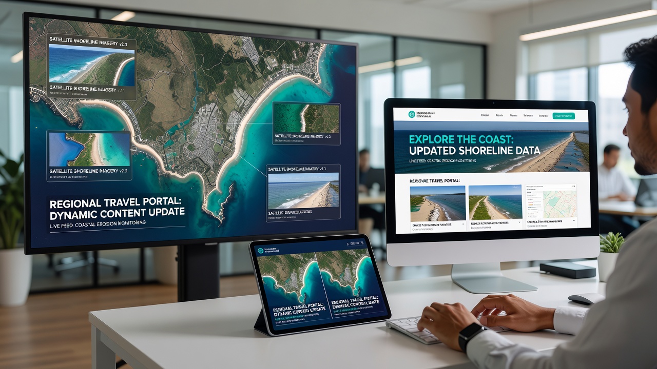
Regional travel portals rely on accurate, timely information to guide visitors toward safe and engaging coastal experiences, and satellite shoreline imagery supplies the raw data that makes these updates possible. Agencies and developers integrate multispectral images from systems such as Landsat and Sentinel to track erosion, accretion, and seasonal water-level shifts that directly affect beach access, parking availability, and trail conditions. When new imagery arrives every few weeks, automated scripts compare pixel values against baseline maps, flag areas where the waterline has moved more than five meters, and push revised text or icons to the portal without manual intervention.
Data Sources and Acquisition Schedules
Observers note that the European Space Agency releases Sentinel-2 scenes at five-day intervals over most coastlines, while NASA’s Landsat 9 provides complementary sixteen-day coverage at higher spectral resolution. In October 2026 the joint USGS-NASA archive added a new coastal band product that distinguishes wet sand from dry sand with ninety-four percent accuracy, allowing portals serving Australia’s eastern seaboard to refresh hazard notices within hours of image downlink. Canadian researchers at Natural Resources Canada combine these optical datasets with RADARSAT-2 radar passes that penetrate cloud cover, ensuring continuous monitoring during the frequent storm periods that affect British Columbia’s ferry terminals.
Automated Processing Pipelines
Processing begins with geometric correction and atmospheric adjustment performed by cloud-based services; the resulting raster layers feed into change-detection algorithms that calculate shoreline position at one-meter intervals. Developers then map these vector outputs to database fields that control portal content, such as “beach open,” “limited access,” or “trail closed.” One study released by the University of Queensland demonstrated that such pipelines reduced content-update latency from an average of eleven days to under four hours across three regional tourism sites. Scripts written in Python and executed on scheduled cloud functions handle the heavy lifting, while content-management systems receive JSON payloads containing updated coordinates and descriptive text.
Integration with Regional Portals
Portal architects embed API endpoints that accept the processed shoreline vectors and trigger conditional logic inside the front-end templates. When imagery reveals a newly exposed sandbar near a popular snorkeling site, the system automatically adds a waypoint and updates the safety rating displayed to users. Conversely, rapid retreat of the shoreline near parking lots prompts removal of those locations from recommended access points. Geoscience Australia’s Digital Earth Australia platform supplies the underlying shoreline vectors for portals covering the Great Barrier Reef region, while the U.S. Geological Survey’s Coastal Change Hazards portal provides equivalent layers for the Gulf Coast states.
Accuracy Validation and Error Handling
Validation teams compare satellite-derived shorelines against ground-survey points collected by local councils at monthly intervals. Discrepancies exceeding three meters trigger manual review queues, yet published error rates remain below eight percent when both optical and radar sources are fused. Portals incorporate confidence scores next to each dynamic notice so travelers can weigh the information accordingly. In practice, the combination of frequent revisits and multi-sensor fusion keeps most regional sites within acceptable tolerance for public-facing advisories.
Case Examples from Multiple Regions
Travel sites serving the Algarve coast in Portugal began ingesting Copernicus Marine Service data in early 2025, resulting in real-time updates to dune-access paths after winter storms. Similar workflows adopted by New Zealand’s regional tourism boards now adjust kayak-launch recommendations weekly based on Sentinel-3 sea-level anomalies. Observers report that these implementations rely on open-data policies rather than proprietary feeds, keeping costs low while maintaining consistency across borders.
Conclusion
Satellite shoreline imagery therefore functions as a continuously refreshed geospatial layer that regional travel portals convert into actionable visitor guidance. By aligning acquisition schedules from multiple agencies, applying standardized processing routines, and linking outputs directly to content-management rules, developers maintain relevance without constant human oversight. As new sensors and higher-resolution products become available, the same architecture scales to accommodate additional variables such as vegetation health or near-shore bathymetry.